
SHARAD (Mars SHAllow RADar sounder) is a subsurface sounding radar embarked on the Mars Reconnaissance Orbiter (MRO) probe.
Instrument description
..
Downloading and processing SHARAD data
Radargrams
Tutorial
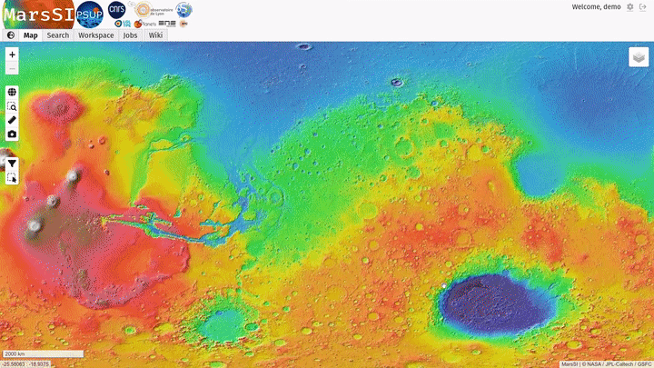
From the “Maps” tab, zoom-in on your region of interest. You can swith to the THEMIS or CTX mosaic for more precision, and then display the SHARAD layer. Then use the select tool to draw an area over the product you are interested in, then right click to pop the context menu and click on "Add selection to workspace". You can refer to the "Getting Started" for more general information about MarsSI layout.
In the "Workspace" tab, you will see your product selection. SHARAD radargrams are already processed by its science team, MarsSI directly provide calibrated data (US-RDR).
Check the product status: if some data is not already done yet, select the rows you would like to request by ticking the input on the left column (you can use the "Select all" button to select all visible products) and click on the "Process" action on the top of the workspace table. You can check more information about the processing in the job tab if needed.
Once all the data you would like is done, select entries by ticking the input on the left column (you can use the "Select all" button to select all visible products) and click on the "Copy" action to request a copy of the data in your personal directory. You can then proceed to download products as described in the SFTP section.
Pipeline information
Data description
Radargrams
The content of an SHARAD product directory in MarsSI should look like:
- s_XXXXXXXX_rgram.img
- Radargram data
- s_XXXXXXXX_rgram.lbl
- Radargram label file
- s_XXXXXXXX_geom.tab
- geom data (orbital trajectory information)
- s_XXXXXXXX_geom.lbl
- Label lfile for the geom data