
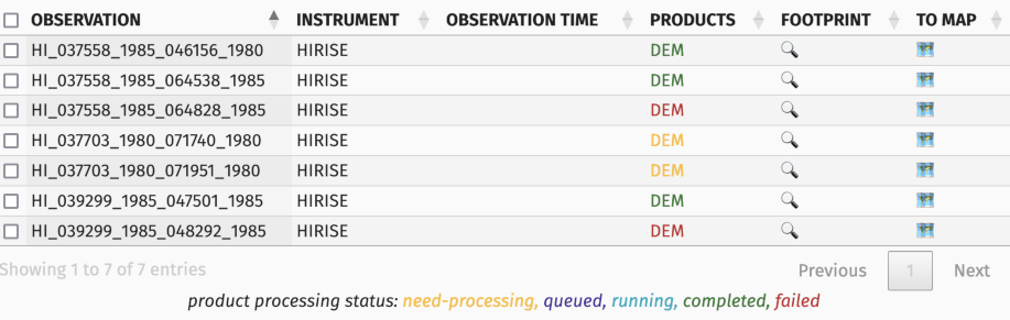
Digital Elevation Models (DEM, or Digital Terrain Model, DTM) generation is not a granted process. While we try our best to compute feasible DEMs and tune our scripts, there may be issues.
DEM status is "error"
For some reason, the DEM procedure was interrupted. There can be a number of reasons for this:
- The images could not be aligned
- Because they are too different
- Because they lack texture
- The DEM generation took too much time
MarsSI is an automated platform, in exceptional cases we may review such failures, especially if we think an improvement made the DEM generation now possible, but most of the time, we cannot fix such products. You can, however, download the input images and try a DEM generation software with finetuning...
DEM has succeed, but there is a lot of invalid/off values
In some cases, DEM generation will succeed, but you may find the result not satisfying. A lot of factor can affect the quality of a DEM:
- Difference between images resulting in poor correlation
- Under and overexposed areas
- Lack of texture
- Orbital uncertainty resulting in depth miscalculation
- Poor realignment against MOLA due to low correlation results
One again, as MarsSI is an 100% automated platform, we deliver those products "as-is". We currently do not have the capacity to provide a DEM quality assessment, but are currently trying to review what would be feasible to give you such an information.